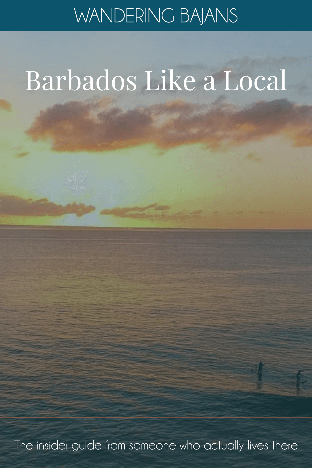
You have done the south coast. You have done the west coast beaches. You have barely scratched the surface.
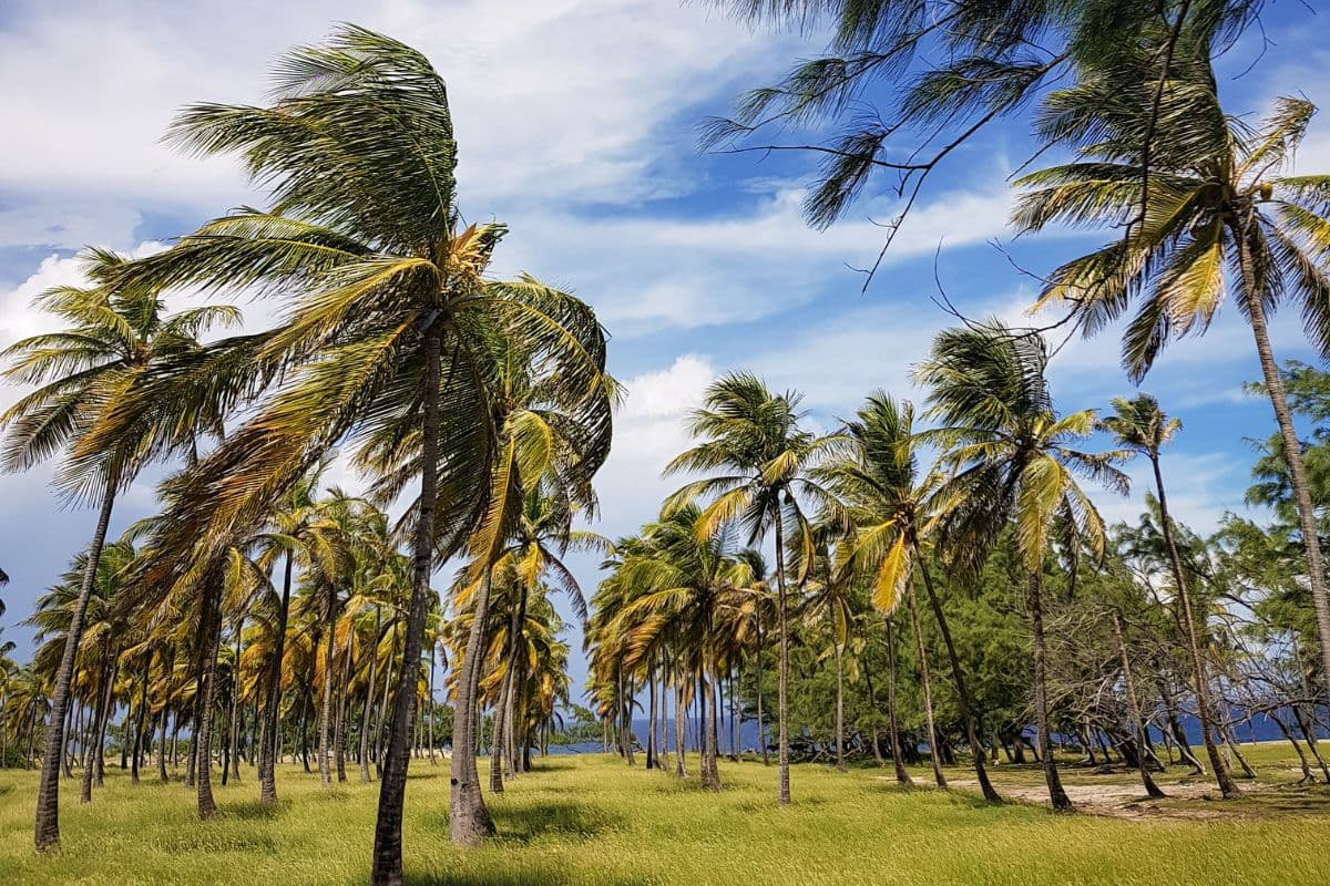
Barbados is a small island — 34km long — but it contains extraordinary variety. The dramatic wild Atlantic east coast is completely unlike the calm turquoise west. The Scotland District in the interior looks nothing like either. The rugged north point at Animal Flower Cave bears no resemblance to the plantation great houses in the south.
The only way to really see all of it is to get behind the wheel and drive it yourself. This is exactly how I do it — and I have done it dozens of times, with visitors, with Freddy, and on my own.
Don't be afraid to drive in Barbados. The roads are well-signed, Google Maps works reliably across the island and the distances are manageable. Pack a cooler, grab some snacks and give yourself time at each stop.
Compare car hire rates before you book at DiscoverCars — consistently the best rates on the island.
Before You Go
Driving in Barbados — What You Need to Know
- We drive on the left. If you are coming from North America this is the main adjustment. Take the first hour slowly.
- The roads are narrow. Particularly in the parishes and along the east coast. Take your time and pull in when you need to.
- Watch the ZR vans. Private minibuses that have a tendency to fly past on narrow roads. Give them space.
- Do not stop in the road for photographs. Pull over properly — this causes real problems on narrow parish roads.
- Use Google Maps. You cannot really get lost on a 34km island but navigation saves time, particularly on the east coast.
Car Rental Tip
Book your rental car in advance through DiscoverCars to compare rates. You will need a visitor's driving permit in addition to your licence — most rental companies arrange this on collection. A standard car handles the route fine but take it slowly on the east coast gravel sections.
Interactive Map
Our Barbados Island Tour Route
Want this route on your own phone? Download the map file and import it into Google Maps.
Download Route (KML) →The Island Tour Route
Starting point: Spring Garden Highway on the west coast, near the Mount Gay Visitor Centre. From here head north. The full loop takes you up the west coast, across the top of the island, down the dramatic east coast, and back up through the south-east.
Full route stops:
- Start — Spring Garden Highway, head north
- Stop 1 — Speightstown
- Stop 2 — Animal Flower Cave (North Point)
- Stop 3 — River Bay
- Stop 4 — Cove Bay
- Stop 5 — Cherry Tree Hill and Morgan Lewis Windmill
- Stop 6 — Cattlewash and Bathsheba
- Stop 7 — Bath
- Stop 8 — St John's Church and Codrington College
- Stop 9 — Bottom Bay and Crane Beach
Stop 1 — Speightstown
Turn left at the roundabout and drive along Queen Street — the main street through Speightstown. It is one of the prettiest towns on the island with well-preserved colonial architecture right on the sea. Take a slow drive along the waterfront before continuing north.
Past Speightstown you will pass Port St Charles marina and Port Ferdinand — a stunning marina complex with a spa and restaurant. After Port Ferdinand the road continues through Six Men's, a small fishing village with fishermen selling the catch of the day from the roadside.
Stop 2 — Animal Flower Cave, North Point
One of my favourite spots on the entire tour. The contrast between the calm west coast and the north point is extraordinary. Up here you are on the Atlantic side and the ocean makes sure you know it.
On a good day there will be spectacular wave action — crashing up through the rock formations with serious force. Walk to the other side of the point for a dramatic view down the coast. The caves are accessible when conditions allow — there is a small entrance fee and it is worth paying.
North Point Tip
Come on a day with some swell for the full effect. Give yourself at least 30 minutes here — it is one of those spots that rewards slowing down.
Stop 3 — River Bay
Five minutes from Animal Flower Cave. A small bay where the water funnels in between the rocks. You can sit and bathe at the water's edge but do not go out too far — the currents here are unpredictable. The short hill beside the bay is worth the climb for the views back down the coast.
Stop 4 — Cove Bay
A little harder to find — if you get lost, ask a local. Absolutely worth it when you find it. Palm trees, Barbados Black Belly sheep wandering around and a secluded cove that most visitors never reach. After Cove Bay you head down the east coast.
Stop 5 — Cherry Tree Hill and Morgan Lewis Windmill
One of the finest views on the island. Make your way towards St Nicholas Abbey and continue through the mahogany trees. At the top of Cherry Tree Hill the east coast opens up below you — on a clear day you can see all the way down to St Philip and Ragged Point Lighthouse.
From Cherry Tree Hill, follow the winding road down to Morgan Lewis Windmill — the largest and only complete windmill remaining in the Caribbean. Occasionally they attach the sails and run it. If you are lucky enough to see that, it is quite something.
Stop 6 — Cattlewash and Bathsheba
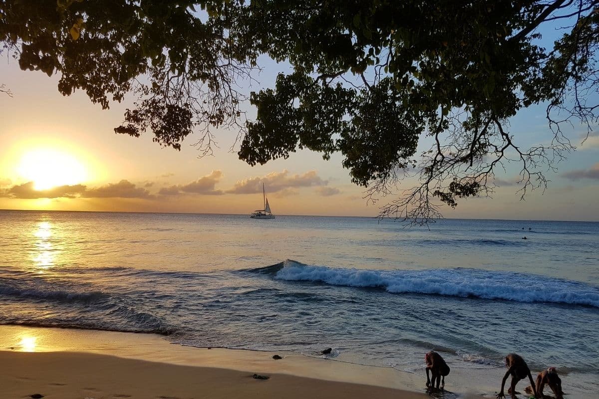
The first beach you reach on the east coast is Cattlewash — a long wild Atlantic beach popular with Barbadian families. Do not swim here. The currents are very strong. But the beach is perfect for a long walk and the scenery is extraordinary.
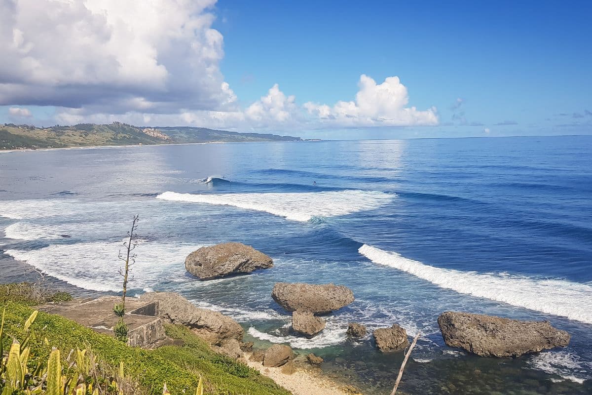
Further down the coast is Bathsheba — home to the Soup Bowl, Barbados' world-famous surf break. There are a few bars along the beach where you can watch the surfers over a cold Banks Beer. A perfect spot for a proper break mid-tour.
Stop 7 — Bath
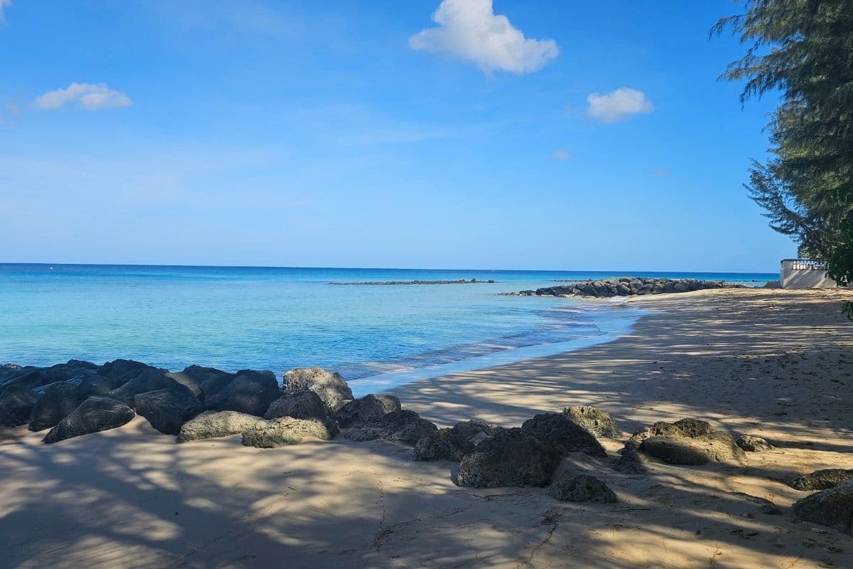
A beautiful stretch of beach on the east coast where you can actually swim safely. Lifeguard on duty, lovely setting, a great spot for a picnic if you packed a cooler.
Stop 8 — St John's Church and Codrington College
St John's Church is a beautiful gothic structure built in 1836 with sweeping east coast views from the churchyard. One of the most peaceful and photogenic spots on the tour.
From the church follow signs for Codrington College — the oldest theological school in the Western Hemisphere. The driveway is lined with tall royal palms leading to a tranquil pond. Completely off the radar for most visitors.
Stop 9 — Bottom Bay and Crane Beach
Bottom Bay is one of those beaches that rewards the effort to find it. Secluded, palm-fringed and dramatic — the sound of the waves crashing in makes it the perfect place to take a breath at the end of a long day of driving. Not safe for swimming. Just come for the setting.
From Bottom Bay, Crane Beach is a short drive away — below The Crane Hotel, accessed via a stepping stone pathway. One of the most beautiful and well-known beaches in Barbados. A perfect way to end the tour.
End of Day Tip
Pack a cooler with drinks and snacks for the road. The sun all day is deceptively tiring. You will be exhausted when you get home. It is absolutely worth it.
Practical Information
Drive time: Approximately three hours driving not including stops. Allow a full day.
Car rental: Compare rates at DiscoverCars. Book in advance for peak season. A visitor's driving permit is required.
Driving side: Left side of the road.
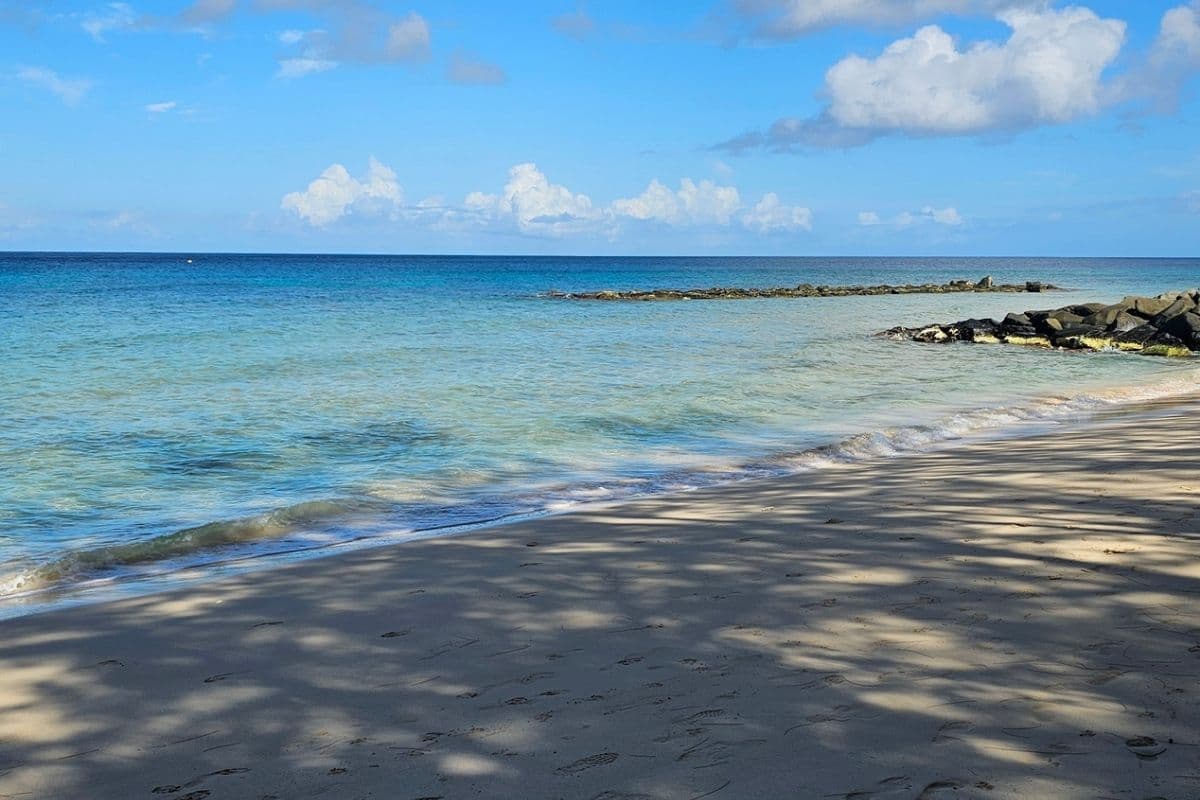
Swimming: West coast beaches and Bath only. East and north coast Atlantic beaches are not safe for swimming.
What to bring: Cooler, snacks, sunscreen, cash for any entrance fees.
Navigation: Download offline Google Maps before you leave. Signal is generally good but do not rely on it exclusively in the northern parishes.
Before the tour, read the Barbados packing list for what to wear and bring. For where to eat along the route, the south coast local guide covers the Bridgetown and St Lawrence Gap area and the budget guide covers the best value local spots across the island.
For accommodation while you are here, the Barbados accommodation guide covers every budget from Airbnbs to luxury west coast hotels.
Frequently Asked Questions
Yes. Visitors from most countries can drive in Barbados with their home licence for the first year. You will need to purchase a Barbados visitor's driving permit, which most rental companies arrange on collection — it costs around $5 USD. We drive on the left in Barbados.